Reconstructing actual data
- Reconstructing multiple points
- About Glossopteris
- Prepared occurrences
- Loading the downloaded occurrences
- Assigning plate IDs
Reconstructing multiple points
Understanding how individual points are reconstructed is the basis for reconstructing more complicated data.
To illustrate this, let’s reconstruct the approximate past positions of fossil occurrences of the Glossopteris genus!
About Glossopteris
Members of the Glossopteris (Brongniart, 1831) genus belong in the group of seed ferns (Pteridospermatophyta). They were forming forests in the Permian period. The genus got its name from the shape of their leaves (tongue + fern):
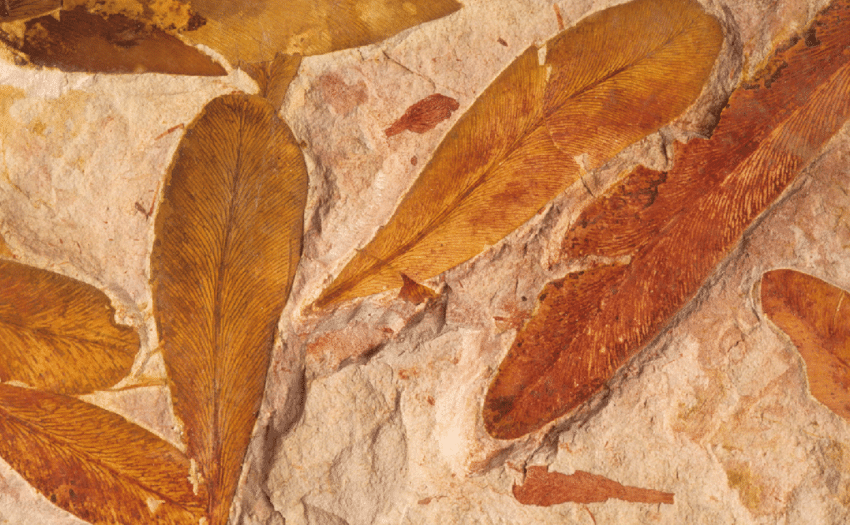
An example from Australia (Source)
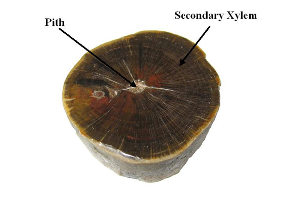
Fossilized wooden stem (Source)
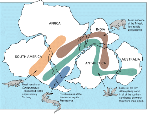
Eduard Suess noted already in the 19th century that the occurrences of this genus seems to form a pattern, and their sources could be connected geographically (he named this the supercontinent Gondwanaland, after Gondwana, an area in India where this seed fern occurs). Later, among other species (such as Lystrosaurus and Mesosaurus), this has been used a main argument for arguing that some continental plates were connected together:
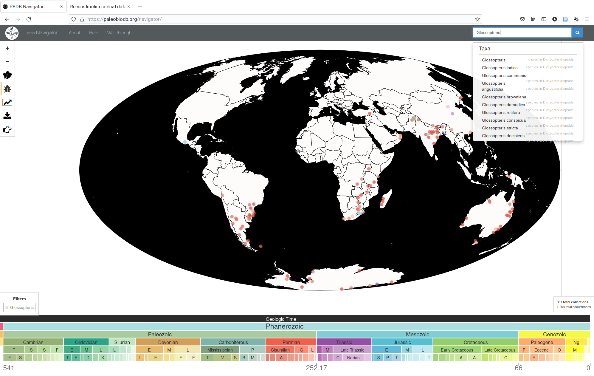
This genus is also represented in the Paleobiology Database, the largest fossil occurrence database that we have. You can check out the current distribution of these occurrences in the PBDB-Navigator.
Prepared occurrences
Downloading these data and formatting it to be imported to GPlates is somewhat beyond the scope of the tutorial. To make this easier the coordinates are prepared in a compressed zip file. You can download them from here.
Export the downloaded zip file (in Windows 11, right-click on the file, then Extract All.. and then Extract). There are four files in this zip file:
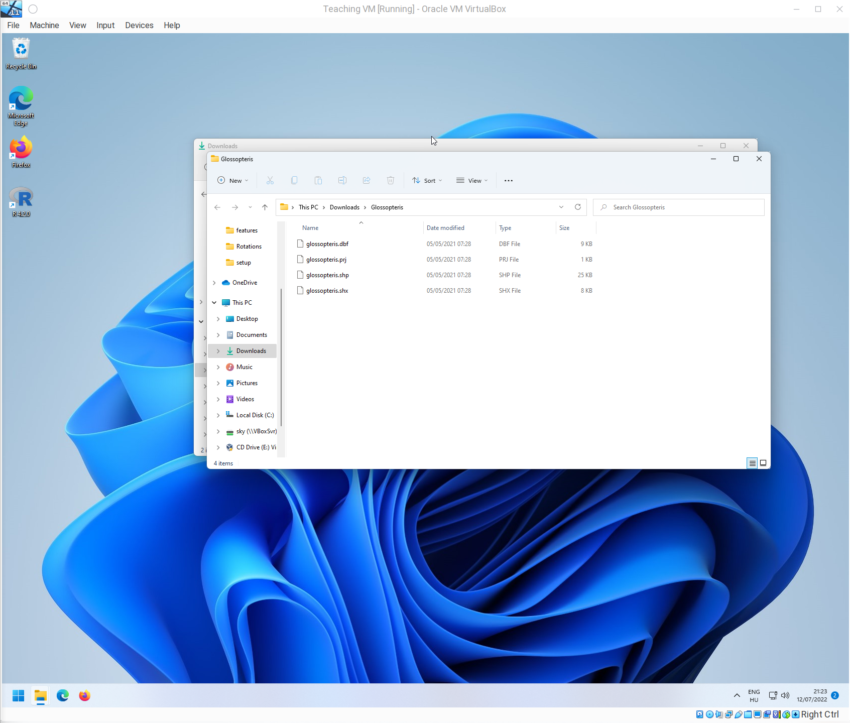
These four files make up the standard ESRI Shapefile format. You need all of them for the data to work.
Loading the downloaded occurrences
Let’s open the PaleoMap rotation file and the corresponding polygons, as in the previous tutorial:
Use the Open feature collection tool to open the .shp file.
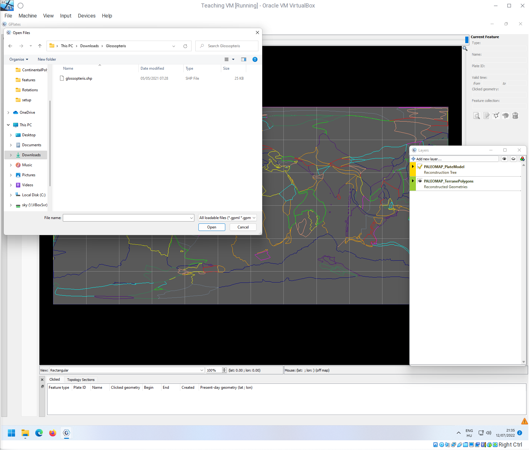
Openning this file will open a dialogue box.
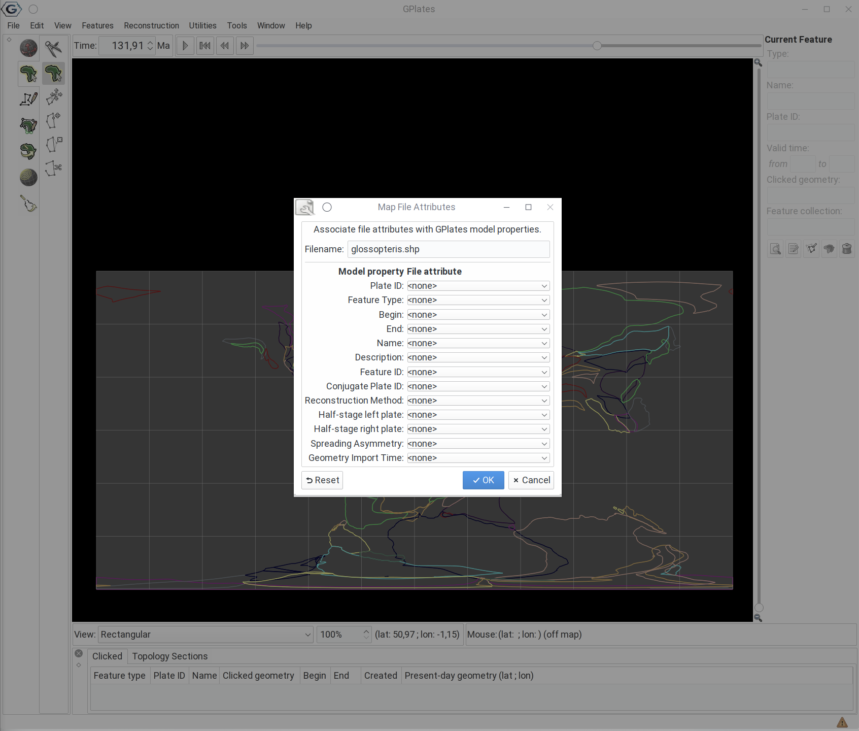
Such shapefiles can include lots of additional information, that can be automatically assigned to the imported features. This is not the case now, so feel free to click OK.
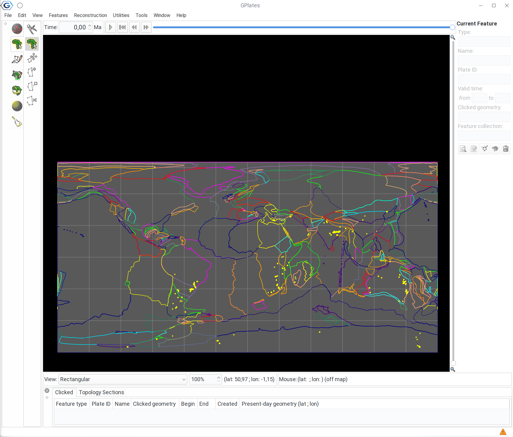
The occurrence points should show up with the same yellow color.
Assigning plate IDs
It should not be surpise by now, that if want to change the reconstruction date, the points do not move.
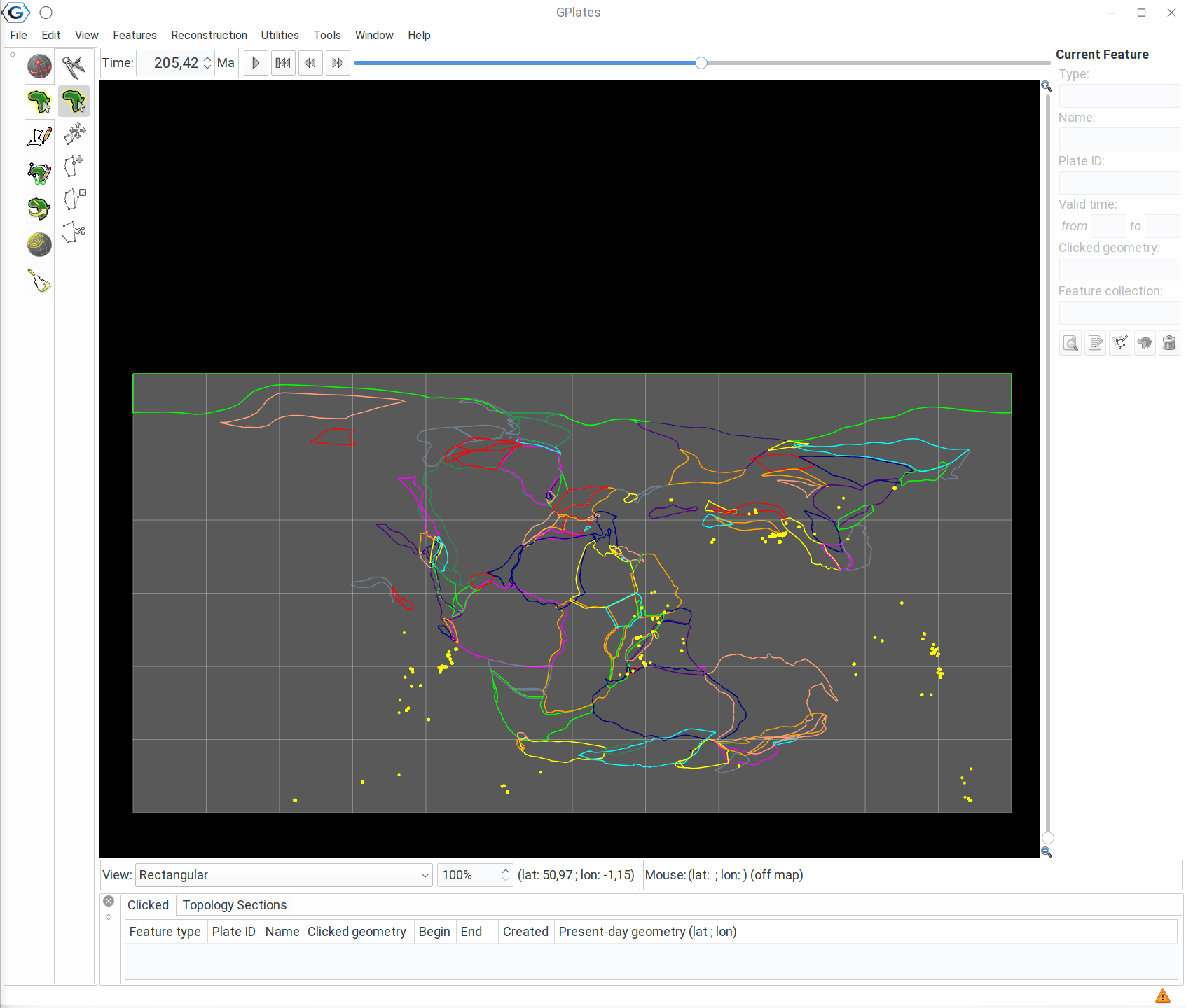
The points do not move because they are not tied to the reconstruction tree, they do not have plate IDs. Naturally, you could assign the IDs manually as in the previous case, but that is not practical.
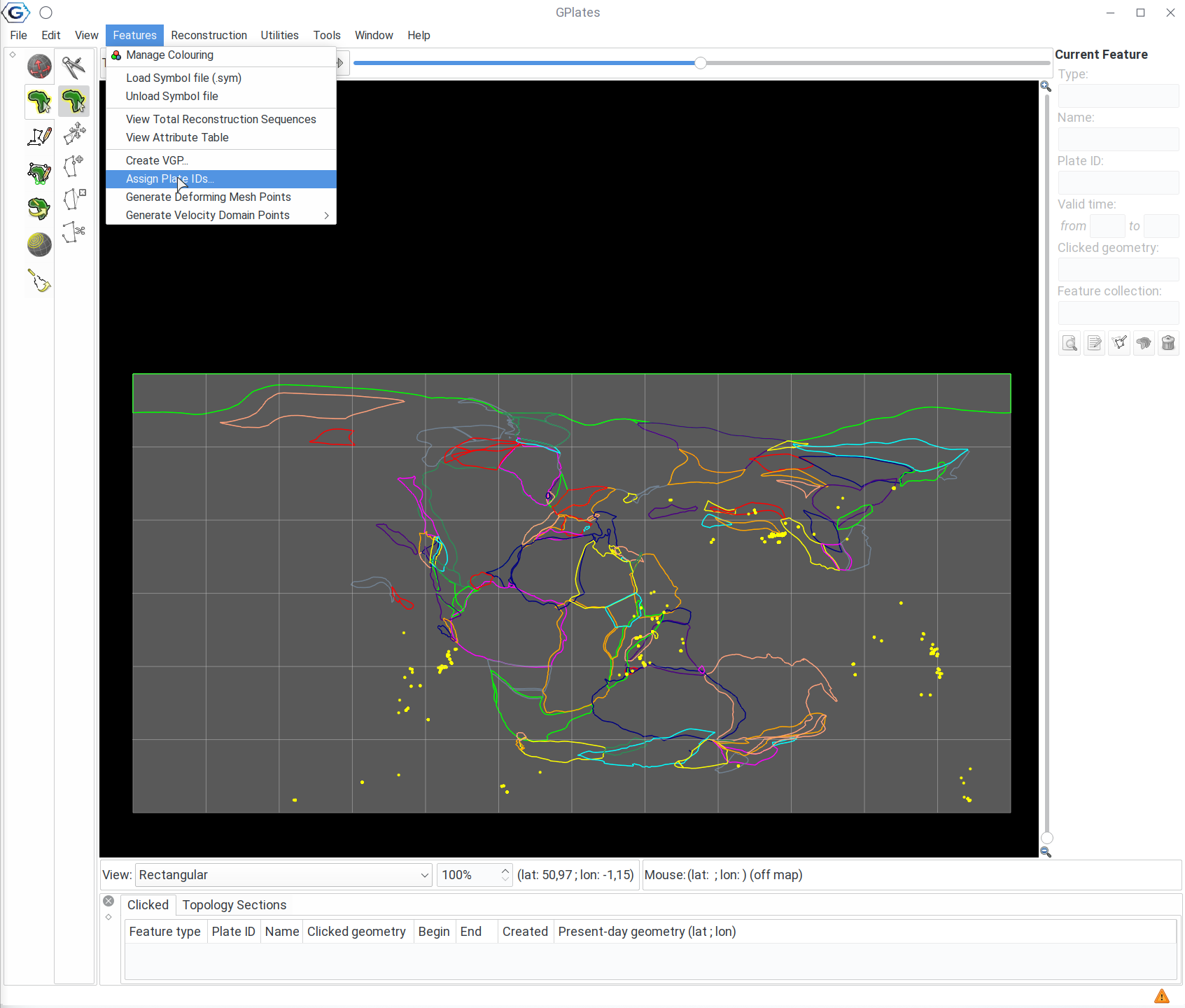
Luckily, there is a tool, that works with all feature collections. To assign the plate IDs automatically, go to the Features / Assign Plate IDs menu item!
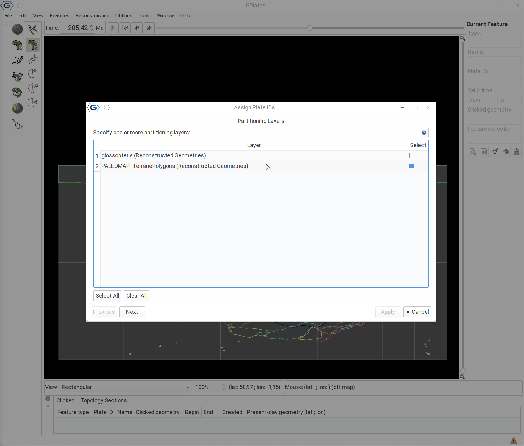
This will open up a dialogue window, where you first have to select the Partitioning Layer, i.e. the terrane polygons:
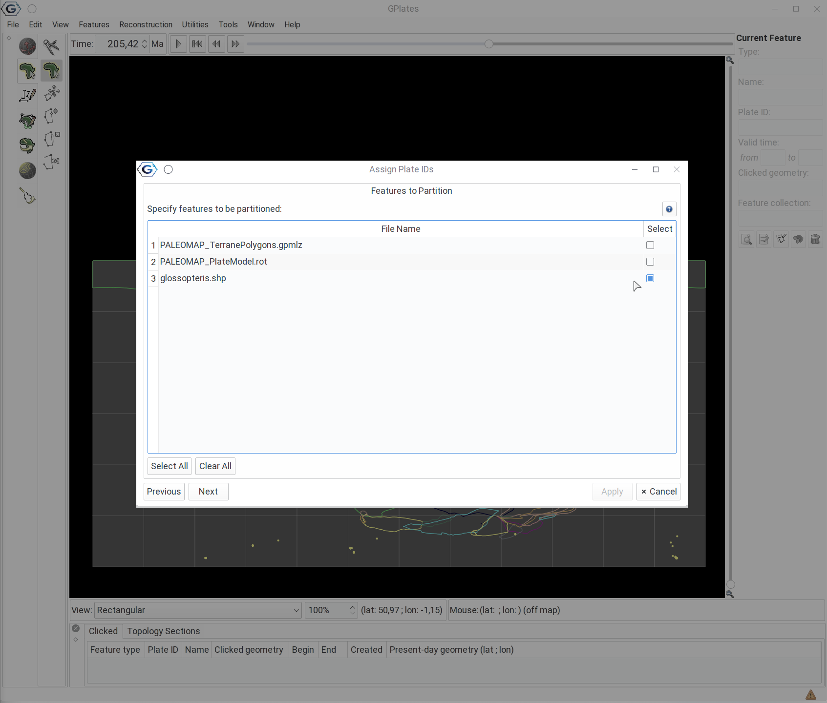
… and click Next! Then you nee to select the layers to be partitioned. This is the occurrences of Glossopteris:
After that, click Next! The next window allows you to fine tune how the plate assignment will happen:
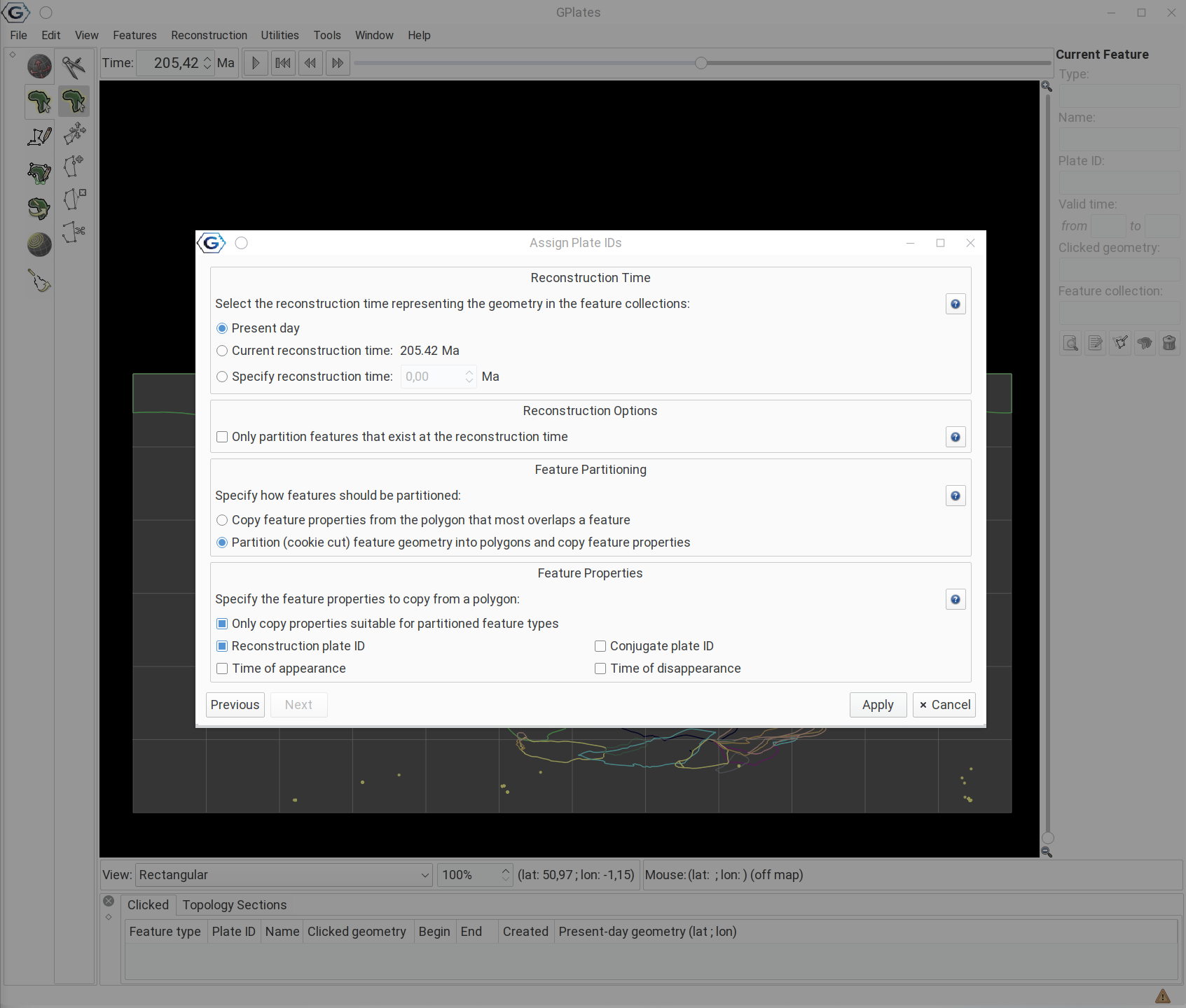
For instance, you might want to copy the appeareance and disappearance dates:

Then hit Apply! Since the reconstruction age in the window is already set to a past date, you can already see that:
- the points changed color
- and are now following the continents.
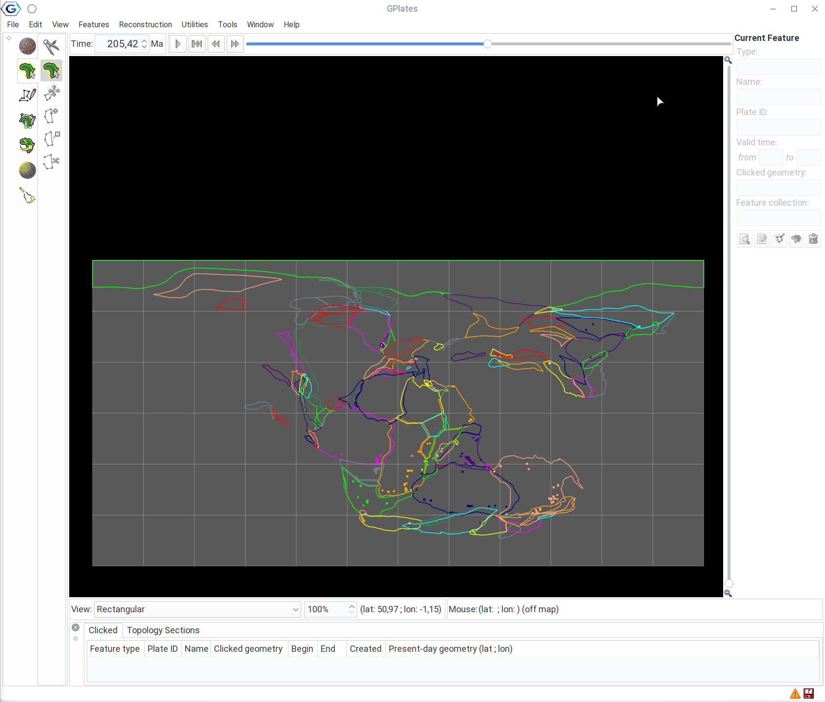
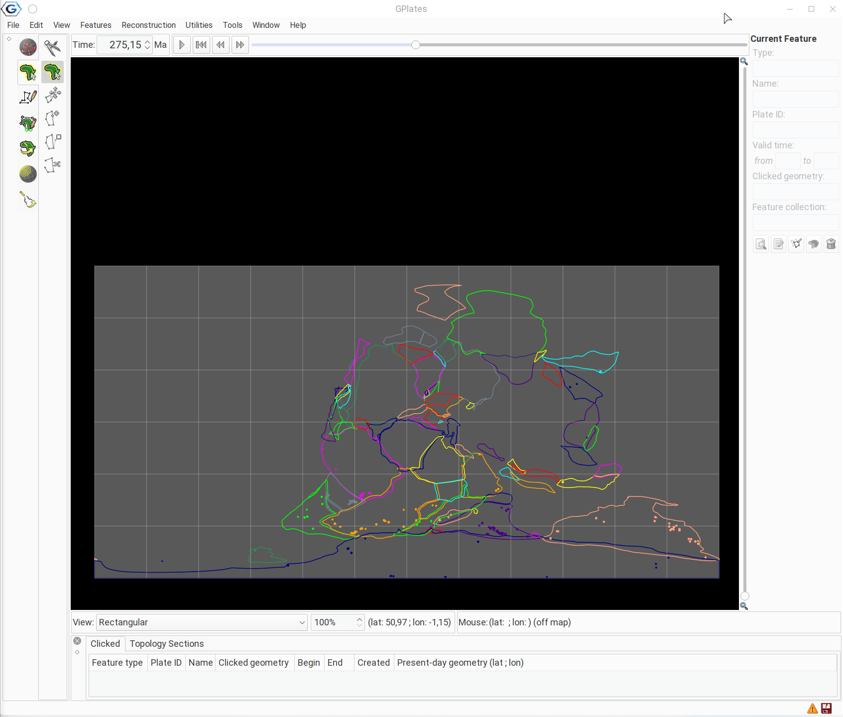
You can move the age slider back to the Permian, and see the original position of the Glossopteris fossils!
Now you should know everything to complete your assignment!